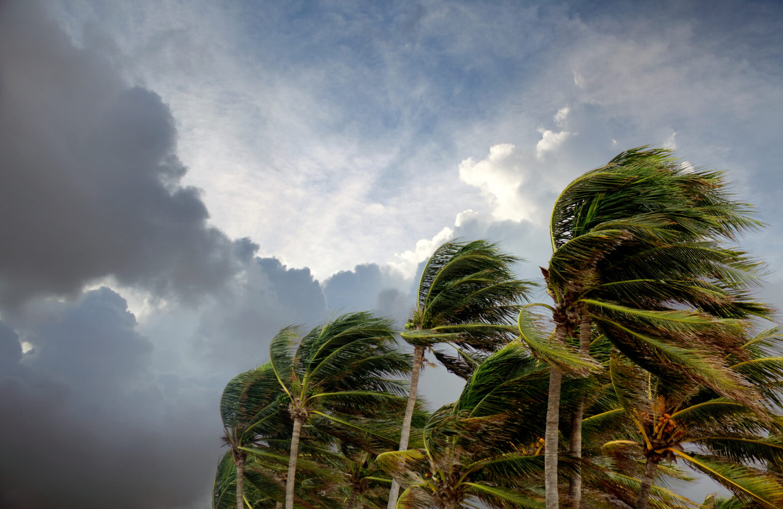
Tropical Storm Barbara has emerged as the latest weather system to form in the Eastern Pacific. The storm continues to swirl approximately 170 miles southwest of the popular tourist destination Zihuatanejo, off Mexico’s Pacific coast. The National Hurricane Center in Miami confirmed early Sunday that Barbara is gaining strength with maximum sustained winds reaching 60 mph as it moves west-northwest at a steady pace of 12 mph.
While no coastal watches or warnings have been issued, meteorologists warn that Barbara is expected to intensify into a hurricane by Monday. The storm’s trajectory suggests it will continue moving away from land, sparing coastal communities from direct impact. However, its peripheral effects will still be felt along Mexico’s southwestern shoreline.
Tropical Storm Barbara Will Bring Heavy Rainfall And Coastal Hazards
Though Barbara isn’t expected to make landfall, its circulation will impact several Mexican coastal states through Monday. The storm is currently tracking west-northwest at 12 mph. It is projected to maintain this general direction while strengthening into a hurricane by Monday. This puts Barbara on a path that gradually takes it farther from the Mexican mainland, which explains why no coastal warnings have been issued despite its intensification.
Heavy rainfall poses the most immediate threat to southwestern Mexico. Meteorologists forecast rainfall totals of 2 to 4 inches, with isolated areas potentially receiving up to 6 inches through Monday. These rainfall totals could trigger dangerous flash flooding and mudslides, particularly in the mountainous regions of Guerrero, Michoacan, Colima, and Jalisco states. Local authorities urge residents in low-lying areas and near streams to remain vigilant and prepare for possible evacuations if conditions worsen.
Beachgoers and coastal residents face dangers even as Barbara remains offshore. The storm is generating powerful swells affecting portions of southwestern Mexico’s coastline for several days. These conditions create life-threatening surf and dangerous rip currents that pose serious risks to swimmers, surfers, and boaters. Tourist resorts and local authorities advise visitors to stay out of the water until conditions improve. The timing is especially concerning as it coincides with the early summer tourism season at popular beach destinations.
Travel Impacts And Recommendations
Travelers with plans to visit Mexico’s southwestern coastal regions should stay informed about Barbara’s development. While major airports remain operational, some coastal excursions and water activities may face cancellations. Tourists in affected areas should follow local authorities’ and hotel management’s guidance regarding beach closures and safety precautions.
Those planning to travel to the region in the coming days should contact their airlines and accommodations for potential schedule changes or disruptions, particularly for beachfront properties and water-based activities. Barbara’s formation comes as forecasters predict an above-normal 2025 hurricane season.
According to CBS News, National Oceanic and Atmospheric Administration (NOAA) officials have projected a 60% chance of higher-than-average activity with expectations of 13 to 19 named storms. Of these, 6 to 10 could strengthen into hurricanes. Furthermore, 3 to 5 could potentially become major hurricanes. The Pacific hurricane season began on May 15 and continues through November 30. Peak activity typically occurs between mid-August and mid-October.


