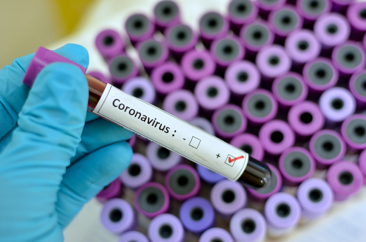
The latest virus to spread to the U.S. is the coronavirus. The virus results in flu-like symptoms and causes pneumonia.
Unfortunately, the virus is spreading rapidly. Scientists at John Hopkins University wanted to help inform the public about the fast-spreading disease and have developed a real-time map of where the coronavirus exists.
Lauren Gardner, a civil engineering professor and co-director for the Center for Systems Science and Engineering gave a statement about the real-time map saying: “We built this dashboard because we think it is important for the public to have an understanding of the outbreak situation as it unfolds with transparent data sources. For the research community, this data will become more valuable as we continue to collect it over time.”
John Hopkins University says the map is made up of statistics sourced from organizations such as the Centers for Disease Control and Prevention, the National Health Commission of the People’s Republic of China, and the World Health Organization.
So far, as of Thursday morning, the map shows 7,783 total confirmed cases of the coronavirus. There have been 170 deaths and 133 recovered victims. Most of the cases are in the mainland of China.
The CDC and the State Department issued a level three travel warning, asking people not to travel to China. They have also declared some parts of China as being level four.
If you have plans to travel to China in the near future, you should reconsider and speak to your healthcare provider about your travel plans.
Click here to stay updated with the coronavirus real-time tracking map.
